Red Oak Realty at Marlinton 304.799.4440 * 18102 Seneca Trail Marlinton, WV 24954 www.property4u.com | 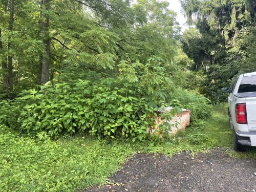 |
Listing #6449 - 155 COLLINS PL , Clear creek, WV 25044 | Raleigh County$4,400
155 COLLINS PL , Clear creek, WV 25044
Raleigh County | Listing #6449

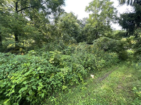
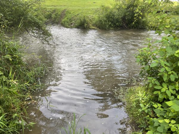
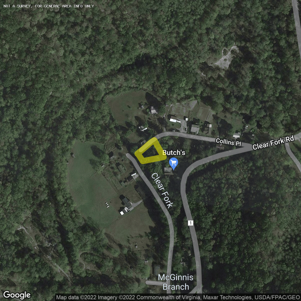
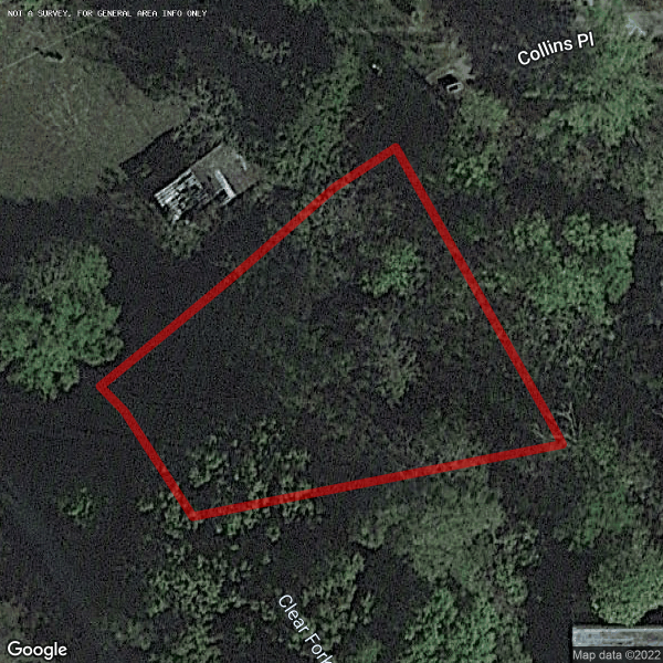
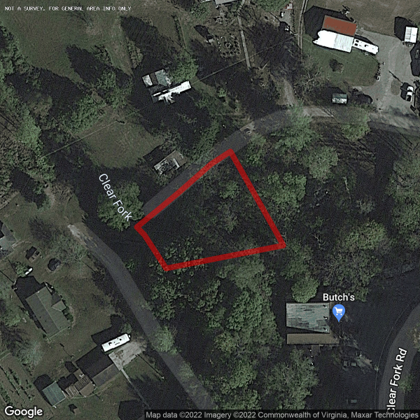
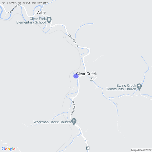
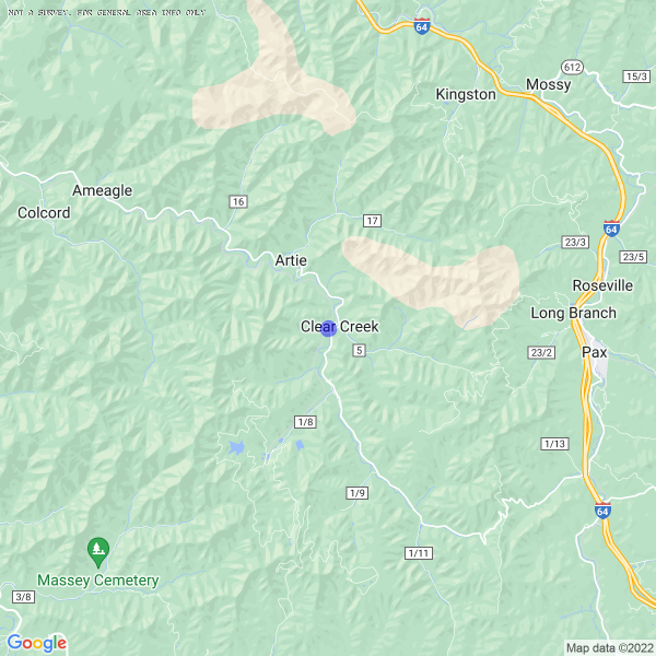
Raleigh County 0.25 acres bordering the Clear Creek. End of the road location.
 See Q and A Below
www.property4u.com